Planning fieldwork that makes sense
Remote fieldwork is tough – planning is essential.
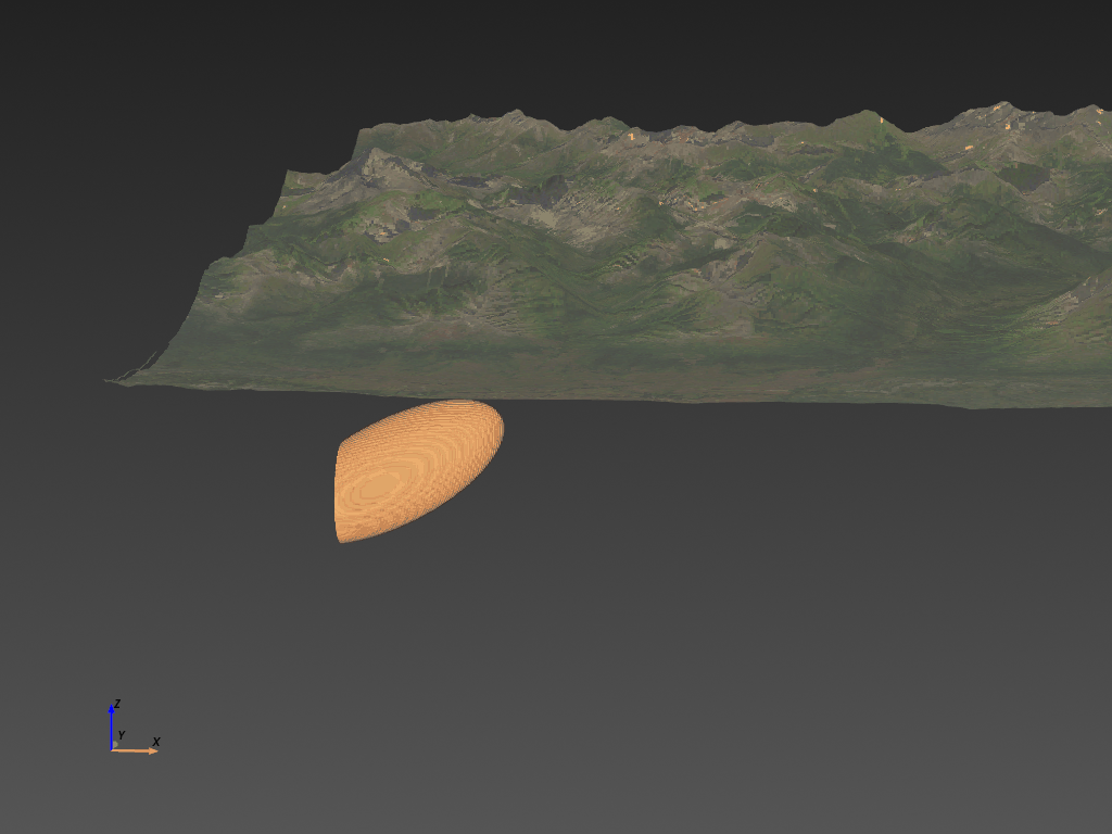
The terrain at Plata is rugged. It's in a remote part of the Yukon in Canada. Knowing your exploration plan before getting into the field is critical. ExploreTech's 3D model shows a magnetic structure in the transition zone between the valley floor and the steep mountains (Figure 1). So when Honey Badger goes to look for that magnetic structure, they know exactly where to go to see if it's outcropping. Field teams don't have to trek around steep, rugged terrain because there's a plan.
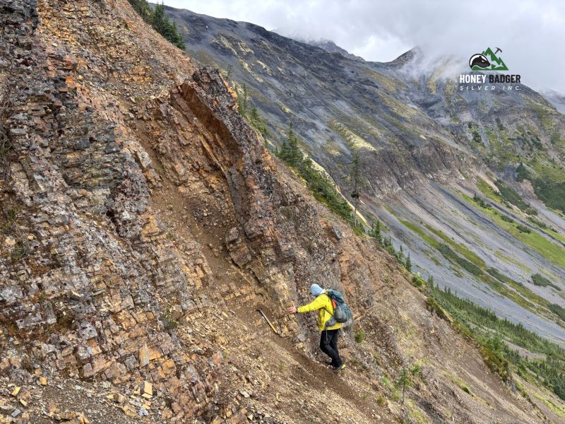
Rugged terrain and inaccessibility
The picture below shows just how rugged this area is. It’s remote. It’s steep. But the geology hosts valuable deposits nearby like Snowline's Rogue project and Fireweed's MacPass project. Overcoming the terrain is a critical part of exploring here. That's why site selection and planning are critical. And Inverter is the perfect tool to help with those plans.
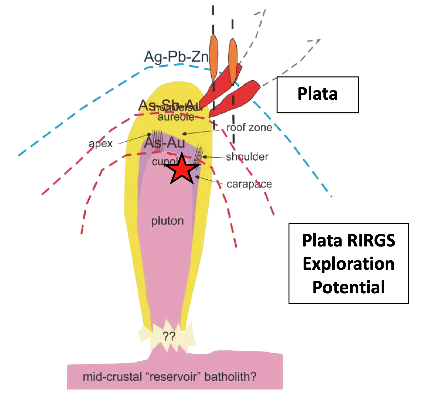
Geology is everything – but geophysics helps
Planning fieldwork in rugged terrain requires a deep understanding of the known geology and a clear picture of what ideas you want to test. The quote below from Honey Badger's CEO sums up how ExploreTech's Inverter helps with fieldwork.
“We interpret Plata as being related to the same style of mineralization as Snowline Gold Corp.’s Rogue Project. The work that ExploreTech will do for us using proprietary cloud-based computing technology will help identify potential targets related to the buried intrusion believed to be the cause of the geophysical anomaly covered by our recently acquired claims.”
Dorian L. (Dusty) Nicol, (fmr) CEO of Honey Badger Silver
The geological concepts described in the quote can be visualized graphically. These graphics are a common way to simply communicate complex, messy geology. The graphics are also great tools to simplify geological concepts into simple, testable plans. ExploreTech used the graphic in Figure 3 below to model the geology in the Plata project. The only intermediate step is assigning expected geophysical properties to the different geological units (pluton, aereole, etc). Once the computing is finished, you get the results in Figure 1 which match the magnetic data with the expected geology. And that's how you plan effective fieldwork.