Targeting of Intrusion-related Gold in the Yukon with Honey Badger Silver
- Honey Badger Silver is exploring for a "Rogue-style" reduced intrusion related gold system (RIRGS) in the Yukon Territory.
- ExploreTech used Inverter to locate the possible location of the intrusion and refine high potential targets for drilling and field work.
- Honey Badger used these results to direct a field sampling campaign in their 2024 Summer fieldwork.
Background of The Plata Project
Overview: Plata is located in the Tombstone Gold Belt in the Yukon, immediately west of Snowline Gold's Rogue Property and within the Traditional Territory of the Nacho Nyak Dun First Nation. The project area contains extensive historic mining, over 32 occurrences of high-grade mineralization at surface (19,000 g/t silver, 78 g/t gold), and is also nearby to Sitka Gold Corp. and Victoria Gold Corp. The silver mineralization at surface indicates a buried intrusion, which is the target of this exploration work.
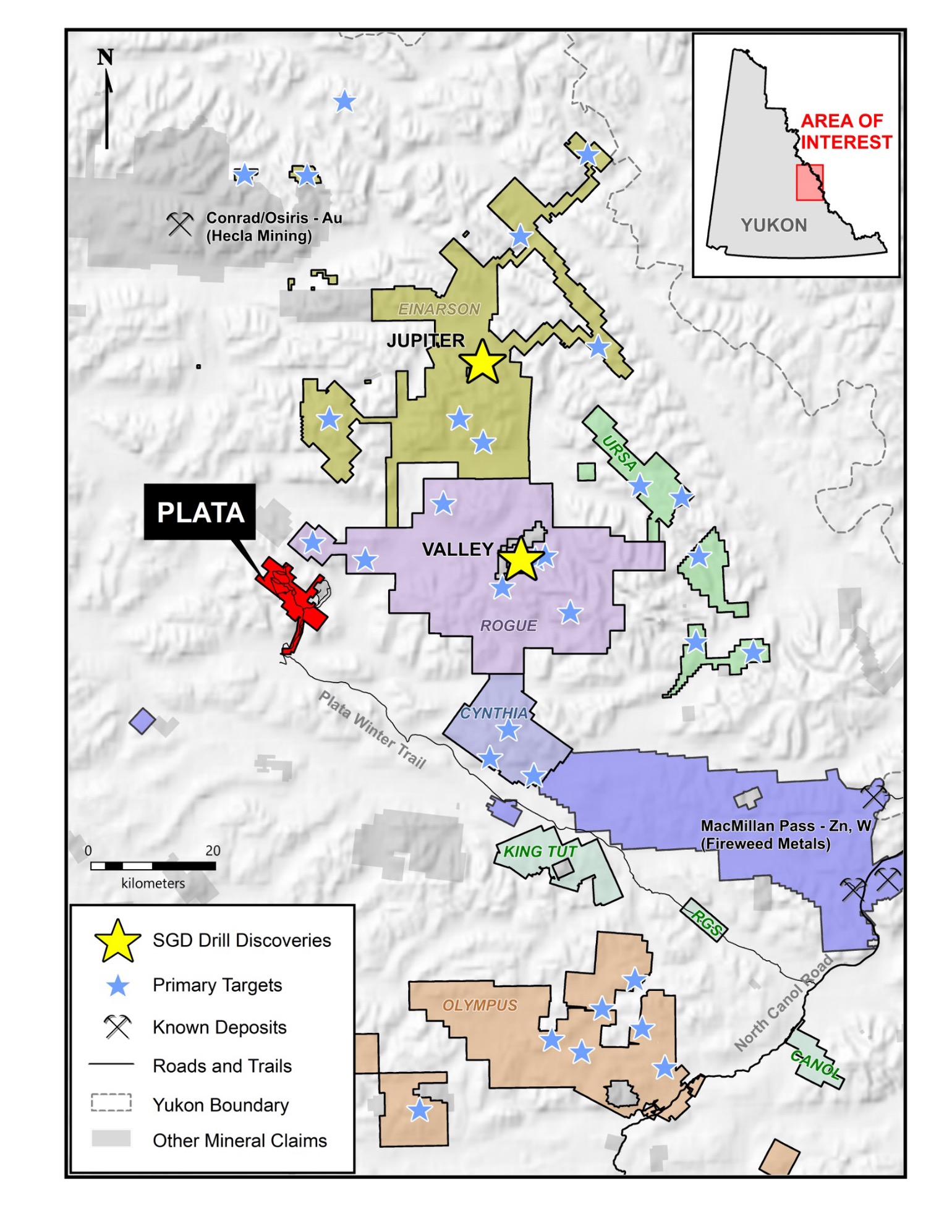
Figure 1. Regional Map of Plata Project with claim boundaries, courtesy of Honey Badger Silver.
Geology: The Plata property is located in the Selwyn Basin stratigraphy, characterized by Proterozoic to Mississipian sediments. These sedimentary rocks are intruded by mid-Cretaceous plutons of the Mayo and Tombstone suites. Complex folding and faulting of the stratigraphy influences mineralization at the property.
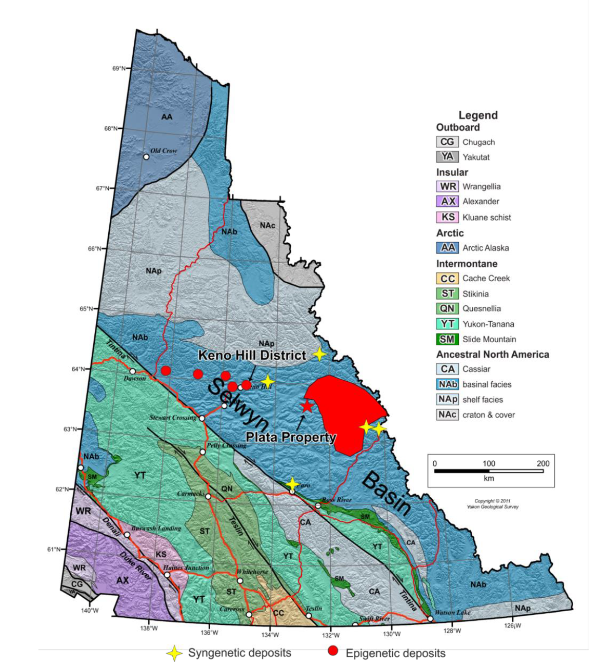
Figure 2. Regional geologic map of Plata Project, courtesy of Honey Badger Silver.
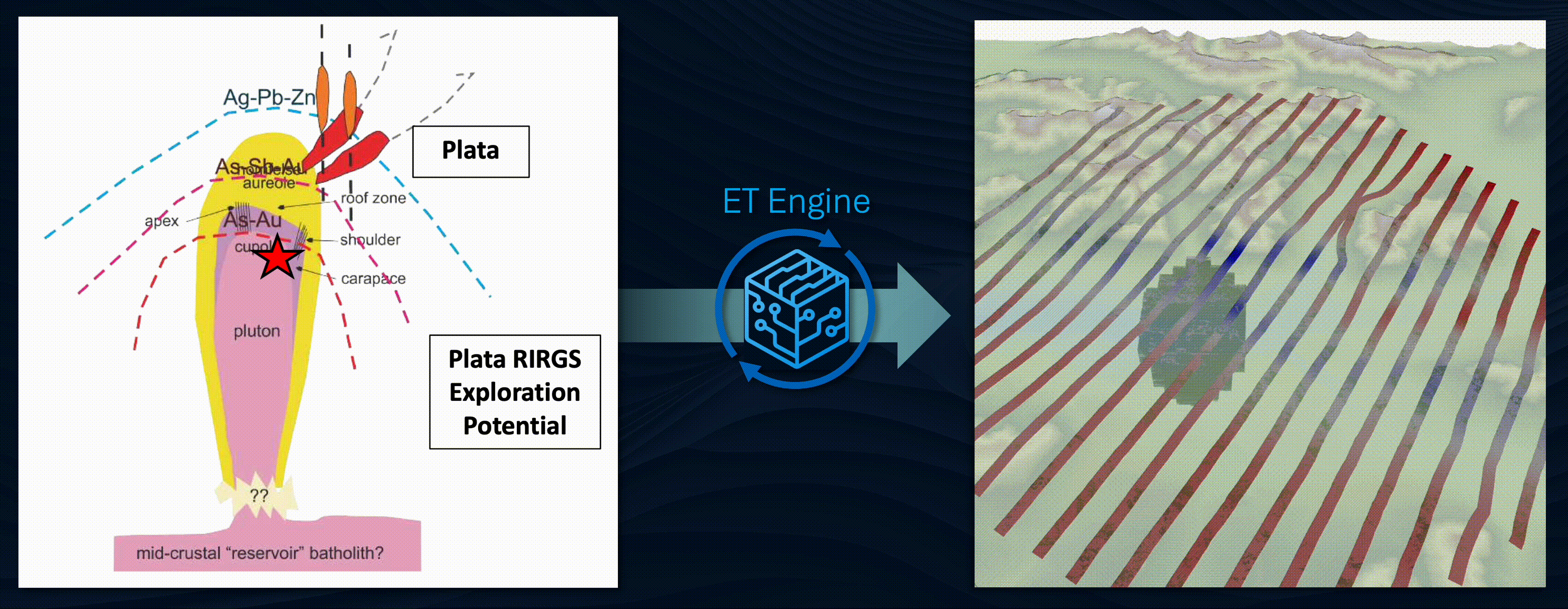
Honey Badger hypothesizes that a Mayo-suite pluton intruded the complex structural network and drove mineralization in the area. The structural network provided pathways for silver, lead, and zinc mineralization that can be found at the surface. The main exploration target is a "crown" of mineralization around the pluton, as well as the pluton itself.
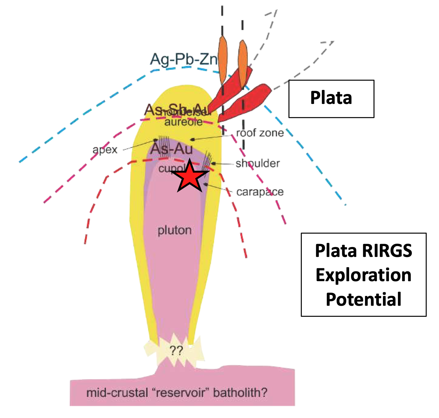
Figure 3. Cross-section concept sketch of mineralization at Plata, courtesy of Honey Badger Silver.
Datasets: Plata has extensive historical surface exploration and mining, dating to the 1960s. Regional geophysical surveys have been performed (airborne magnetics and VTEM), with recent geochemical sampling, mapping, and prospecting. Only shallow drilling up to 100 m depth has taken place within the claims.
ExploreTech's Inverter Determines Location of Intrusion
To find the source intrusion, ExploreTech carried out a probabilistic inversion on the magnetics data, combined with the intrusion-related gold hypothesis. The inversion focused on the southern part of existing claims, as well as the claims staked in 2024.
The first step in modelling is to encode the hypothesis into a simple geometry. The Plata concept can be expressed as an ellipsoid along with a "crown". The main ellipsoid (grey) and crown (yellow) are assigned broad ranges of locations, sizes, depths, and magnetic susceptibilities.
Thousands of candidates within this range are simulated and used as an input to Inverter, shown below. ExploreTech's Inverter considers all of these possible candidates and compares them to the geophysics data.
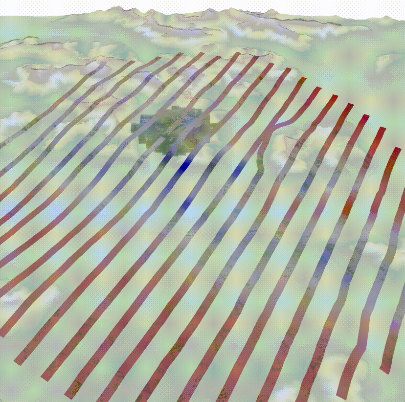
Figure 5. Map view of prior models at Plata. These models have not been "fit" to the geophysics data yet, and therefore bounce all around the property.
Over time, Inverter learns which possibilities fit both the range of possibilities as well as the geophysics data. Figure 6 shows the final, "refined", set that matches the geophysics data as well as our hypothesis.
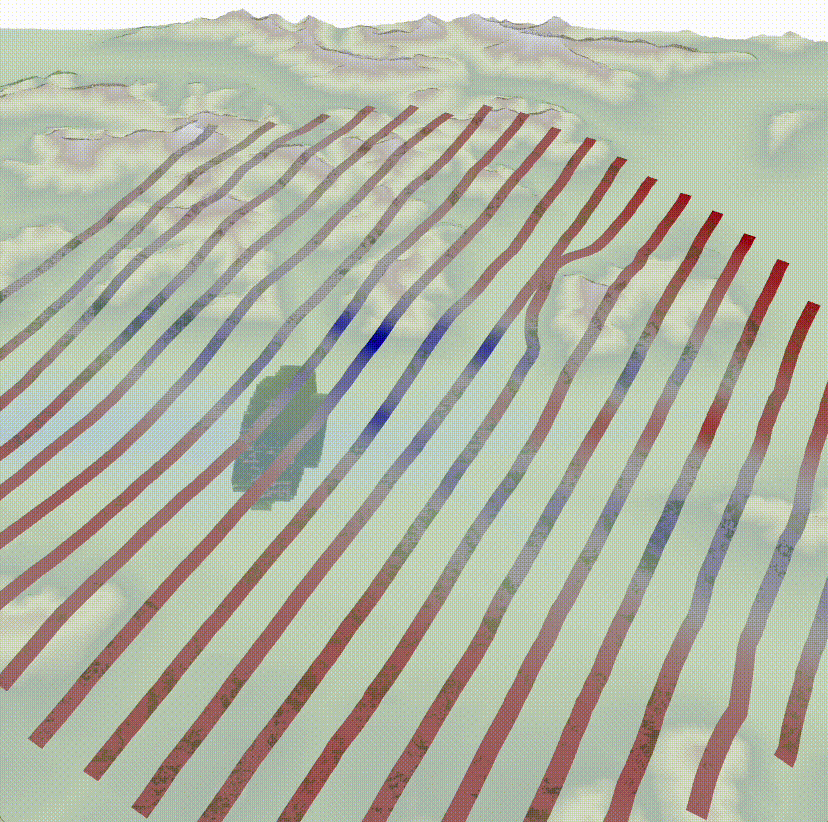
Figure 6. Map view of final matched models at Plata. After many hours of computation, these are the models that match the hypothesis and the geophysics data.
Only a subset of the final models are shown. ExploreTech plotted the extent of thousands of matches, and the Honey Badger field teams focused their exploration in areas near and above these areas. Targeting and field work now focus on the places most likely to have the intrusion.
Concluding Thoughts
Honey Badger used these results to guide their summer 2024 field season, sampling, and positioning. Additional geochemical samples were collected, with further analysis and follow up drilling in 2025.
ExploreTech generated results within a week of confirming the geological hypothesis, and looks forward to continuing work with Honey Badger on Plata and beyond.