
Seeing through cover at Guigui
Moving the project forward - fast
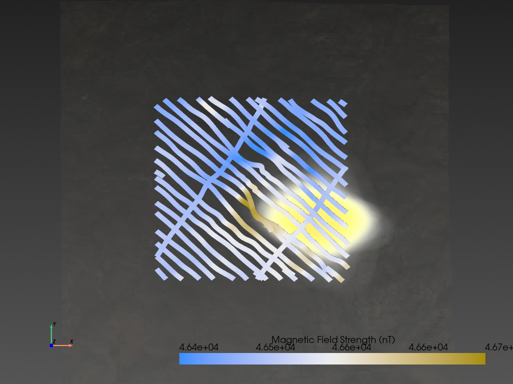
In an industry plagued with long timelines, speed matters. When ExploreTech teamed up with Reyna Silver, there was already a lot of excellent grassroots work done. But there was more to do, especially with the extensive airborne geophysical data. ExploreTech moved in and within just one week delivered a new, compelling drill target (Figure 1). One that made sense with the both the project goals and the geology.
Know your drilling risks (and the path to reward)
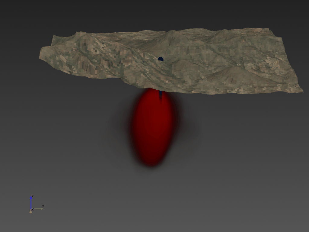
ExploreTech delivered a probabilistic inversion using Inverter, an AI tool built on top of ExploreTech's Engine cloud computing platform. The results show a target near the anomaly, but surprisingly offset from the anomaly by about 300 meters (Figure 2). That offset is fortuitous, since it means the anomaly can be reached from the valley below the hill. The difference in topography saves 200m of drilling and increases the probability of success up from 0% to 75% success chance with a 1300m drillhole.
Drilling through cover isn't a problem anymore
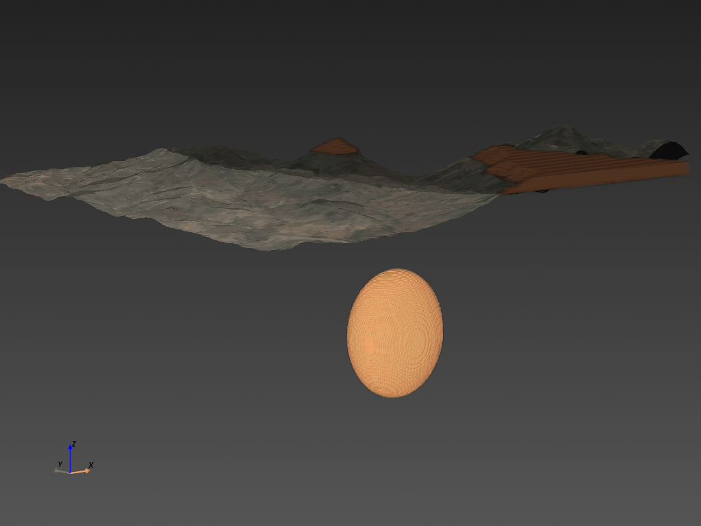
The Santa Eulalia district has prolific mines, but the source intrusion has not been found. All signs point to the Guigui project, but there’s a 200m layer of volcanic rocks covering the ore-hosting rocks (Figure 3). The only way to find this deposit is strong geology & geophysics, and Inverter is the only way to combine these disciplines together. And it works. Reyna Silver has since been acquired by Torex Gold and this target has not yet been drilled.
Concluding Thoughts
Geophysical signals can be tricky, with strange offsets based on the orientation and physical properties of the subsurface. Inverter is a perfect tool for the job, since it's able to pull apart those nuanced, nonlinear physical phenomena and translate into geology. The risk quantification also makes it orders of magnitude easier to hit your target compared to traditional geophysical analysis. And it works.
The next step in the Exploration Revolution is to connect ExploreTech's probabilistic modeling tools to the field. Real-time insights. Plan your next geophysical line here, send a mapping team there. Only then will we change the underlying economics of mineral exploration.